
Whether you’re planning a subdivision, building a new home, resolving a boundary disagreement or managing a rural property, our surveyors will provide the clarity and confidence needed to move your project forward. We combine technical expertise with practical advice, helping clients navigate complexity, reduce risk and make informed decisions. From start to finish, we focus on finding solutions and keeping projects progressing smoothly.
We work on projects of every size, from individual home-builds and infill subdivisions through to large-scale residential, commercial and rural developments. Just as importantly, we understand the people behind the projects. Several of our surveyors come from rural backgrounds, giving us firsthand insight into the realities of farming, land ownership and life on the land. Whether you’re a farmer planning for future generations, a developer looking to unlock new opportunities, or a homeowner needing certainty around your property boundaries, you’ll deal with experienced professionals who understand your goals and are committed to finding the solution that works for you.
We offer a wide range of surveying services to suit all kinds of projects. These include:
Whether you’re developing, building, buying or selling we have the right tools and expertise to support your plans.
A boundary survey defines the legal extents of your land ownership rights. It’s essential for any subdivision, or when resolving disagreements over boundary location. A topographic survey maps the shape, contours, and features of your site, helping you understand how the land actually lies. It’s a key tool for planning and design. Often, both surveys are needed to make well-informed decisions.
The time depends on the type and complexity of the survey. A simple building set-out might take less than a day on site, while a full topographic and title survey for a large development will take longer. Good planning makes our work go efficiently, so we also need some time before our site visit to search for survey and title information, calculate the boundaries and prepare for our site visit. We’ll give you a realistic timeframe upfront and work efficiently to deliver accurate results without delays.
While it may not always be necessary it can be a smart move. If you have any doubts about the extents of the title boundaries or how these relate to fences and buildings, a survey can confirm that what you think you’re buying or selling matches what’s on the title. It can uncover issues like encroachments or easement errors early, saving time and stress down the track. We can also check access, services, and development potential if you’re planning changes post-sale.
Yes. All our surveys are managed by suitably qualified Surveyors to ensure we follow the legal standards and technical requirements set by councils and Land Information New Zealand (LINZ). We provide the certified data and documentation you need for consents, construction, or title updates. Our reputation for accuracy and reliability means your project will be built on solid ground from the start.
Yes, we regularly help rural landowners with boundary adjustments, subdivision designs, and securing new titles. Whether you’re passing land on to the next generation, selling a portion, or reshaping your property to match changing needs, we’ll guide you through the process and make sure everything’s done right.
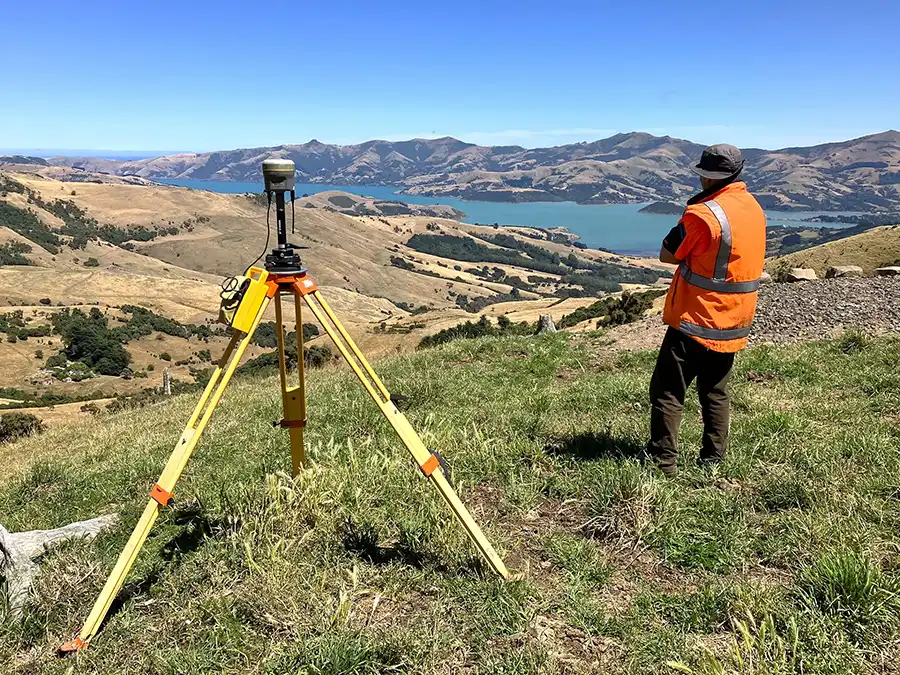
Many of our team members have a rural background and know their way around a farm. We have robust equipment and vehicles to handle the rough terrain. We also understand that the rural environment can be hazardous. Our field staff are trained and experienced in how to act safely when working remotely.
Yes, most rural land changes need some form of resource consent. This could include subdivision, land use changes, or even confirming existing rights. We know the local district plans inside out and can handle the consent process for you, from preparation to council approval.
We’re used to working as part of a wider project team. We’ll work collaboratively to make sure your land project runs smoothly and meets the relevant planning requirements. We can also help bring the right people on board if further expertise is needed.