Our Services
Rivers and Flood Modelling
Three Waters and Civil Engineering
Land Development and Urban Design
Urban and Rural Land Surveying
3D Data Acquisition and Data Modelling
Environmental Planning and Consenting
Our Projects
About us
Our team
Our story
Our Services
Rivers and Flood Modelling
Three Waters and Civil Engineering
Land Development and Urban Design
Urban and Rural Land Surveying
3D Data Acquisition and Data Modelling
Environmental Planning and Consenting
Our Projects
About us
Our team
Our story
Contact us
CONTACT
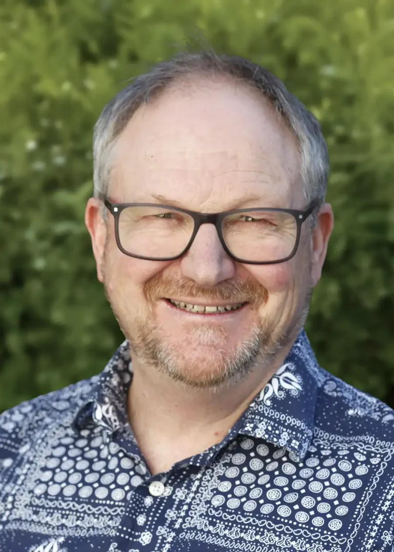
Craig McInnes
Director
RPSurv | Licensed Cadastral Surveyor | PMS+SNZ, MICS | BSurv
EMAIL
CALL
LINKEDIN
Christchurch
Expertise
Cadastral (legal boundary) surveying
Rural subdivision feasibility and consents
Conservation covenants
Crown Land and Public Works Act surveys
Selected projects
Wainui lifestyle block subdivision, Banks Peninsula
Robinsons Bay Road subdivision, Banks Peninsula
Kakanui Reserve and BPCT, Banks Peninsula
Black Hill Station tenure review, Methven
Associated projects
Robinsons Bay Conservation Subdivision
Residential & Rural Development
Environmental planning and consenting
Urban and rural land surveying
VIEW PROJECT
Services
Environmental planning and consenting
Urban and rural land surveying
Table of Contents