
Flooding is a natural hazard in New Zealand, and throughout the world. It is an issue that affects both rural and urban environments. With the added pressures of climate change compounding the situation, the issues associated with rural and urban flooding are only going to become more and more prevalent.
Numerical modelling technologies have advanced significantly in recent times. However, the key to modelling today is not so much producing results, but rather understanding and being able to convey the limits and certainty within those results.
This only comes with experience and a solid foundational understanding of the models. At Fox Environmental, we have the track record and engineering background to provide you with the certainty you need to make the right decision.
Whether you are analysing the impact of development on an existing stormwater network, assessing the level-of-service of a regional flood protection scheme, or needing in-stream structure design, we have the experience to offer the insightful, honest advice when it comes to river management and flood modelling.
Our primary modelling software is TUFLOW, run on high-end PCs to produce results quickly and efficiently. Our team also work with other packages such as DHI, Infoworks, HEC-RAS, and HEC-HMS as well as the ESRI and QGIS environments necessary to prepare and present models.
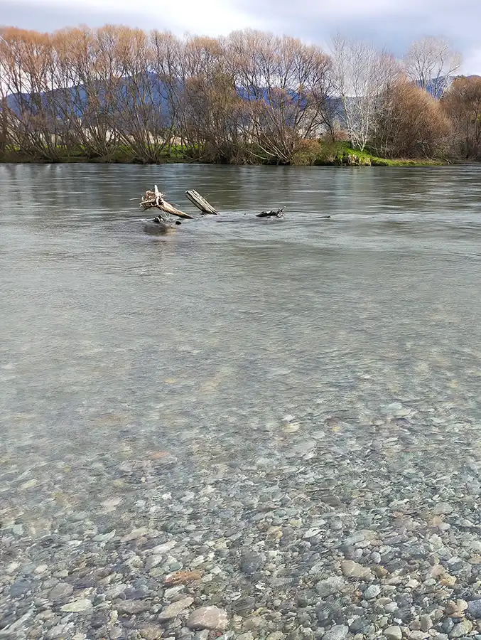
We can model everything from site-specific flood assessments through to large-scale river catchments.
Flood models are normally calibrated against known flood events and levels so they can be verified against real world data. This gives both you and the council confidence that the model results are accurate.
Flood modelling is not typically cost-effective for individual property assessments. However, if your property is within a small or simple catchment, flood modelling may be able to help provide certainty of flood levels for your future development.