Our Services
Rivers and Flood Modelling
Three Waters and Civil Engineering
Land Development and Urban Design
Urban and Rural Land Surveying
3D Data Acquisition and Data Modelling
Environmental Planning and Consenting
Our Projects
About us
Our team
Our story
Our Services
Rivers and Flood Modelling
Three Waters and Civil Engineering
Land Development and Urban Design
Urban and Rural Land Surveying
3D Data Acquisition and Data Modelling
Environmental Planning and Consenting
Our Projects
About us
Our team
Our story
Contact us
CONTACT
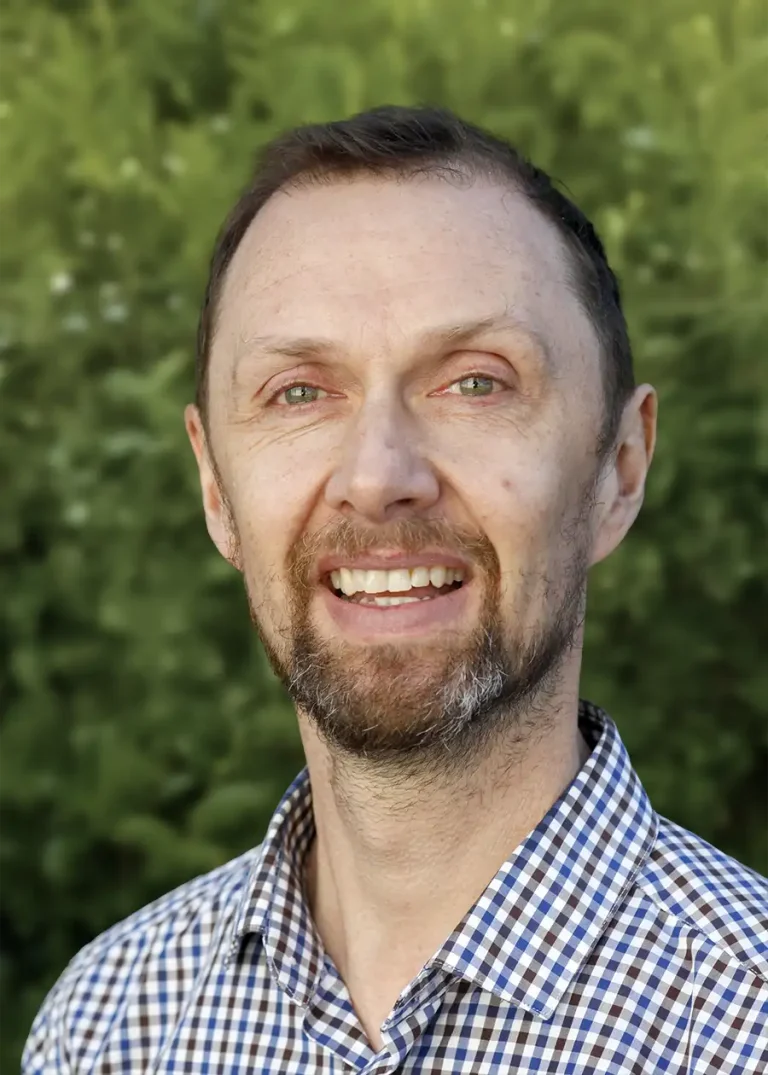
Phil Dewar
Senior Surveyor
RPSurv | Licensed Cadastral Surveyor | PMS+SNZ, MICS | BSurv (Hons)
EMAIL
CALL
LINKEDIN
Christchurch
Expertise
Spatial measurement and data analysis
Infill and medium density subdivision
Aerial surveys and remote sensing
Terrestrial laser scanning
Cadastral (legal boundary) surveying
Selected projects
Floor penetration surveys for Christchurch International Airport
DoC dam and river surveys, Tasman District
UAV aerial surveys, SH6 and SH60
Spires sculpture installation, Christchurch
Associated projects
UAV aerial surveys SH6 and SH60
Infrastructure & Commercial
Local & central government
3D data acquisition and data modelling
VIEW PROJECT
Surveying the Ōhau Canal
Infrastructure & Commercial
3D data acquisition and data modelling
VIEW PROJECT
Services
3D data acquisition and data modelling
Environmental planning and consenting
Urban and rural land surveying
Table of Contents